

New Independence Corridor Opened to Improve Public Transport Travel Times


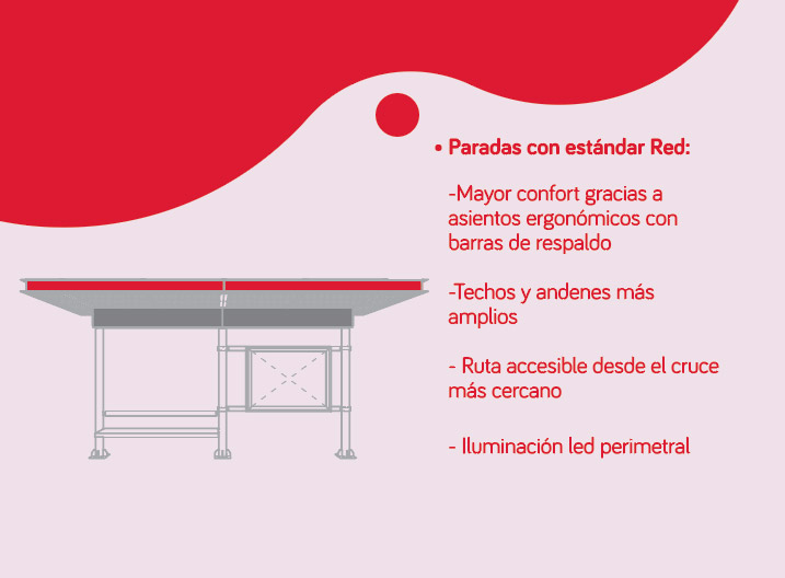
The work has an area of 4.2 kilometers and will directly benefit the communes of Independencia, Conchalí, Quilicura, Santiago and Recoleta. The corridor has 42 standard Red whereabouts, which will have as main novelty the activation of the descent door on the left side.
On the morning of Saturday, December 26, we took the go to the new Independence corridor, infrastructure that will improve the travel times of public transport by 35%, optimizing the frequency of buses and quality of service.
The main areas benefiting from the work of 4.2 km of extension are Independencia, Conchalí, Quilicura, Santiago and Recoleta. Located between Santa Maria and Dorsal, it includes six vehicle tracks with a high standard on pavements and roads.
As a main novelty, this corridor is the first axis of rm public transport with bus stops in the center, so there are stops where users will descend on the left side of the buses.
“With the start-up of the Independence corridor, the directionality from Dorsal to Echeverría is restored, and the circulation from Echeverría to Avenida Santa María and in a southerly direction.”
This allows us to return to the previous condition of the corridor with buses circulating on the axis with a very high level for our avenue.
This work is a high standard urban project that includes work for proper rainwater evacuation, semaphoreization at 20 intersections, signage and demarcation for crosses and LED lighting throughout the area. In addition to a landscape work that included planting trees, floor coverings and grass with irrigation.
The call we make to all the neighbours of the axle with corridor and to users of public transport is to take care of this new infrastructure that will significantly improve the quality of their travels.
Information for users
Since December 21st information monitors are located around the corridor to provide help and guidance to users and users about the location of stops and stop bus routes.
Independence Corridor in detail
The Independence Corridor stretches between Av. Santa Maria and Dorsal with an extension of 4.1 Km. Different bus routes pass through the corridor, which will decrease your travel times by 35%. The routes that pass through the Independence Corridor have stops with doors opening on the left side of the bus.
You can find out here about the distribution of stops and routes.
The Independence Corridor has connectivity with 4 Metro stations:
- Puente Cal y Canto L2 y L3
- L3 Hospitals
- Plaza Chacabuco L3
- Conchal L3
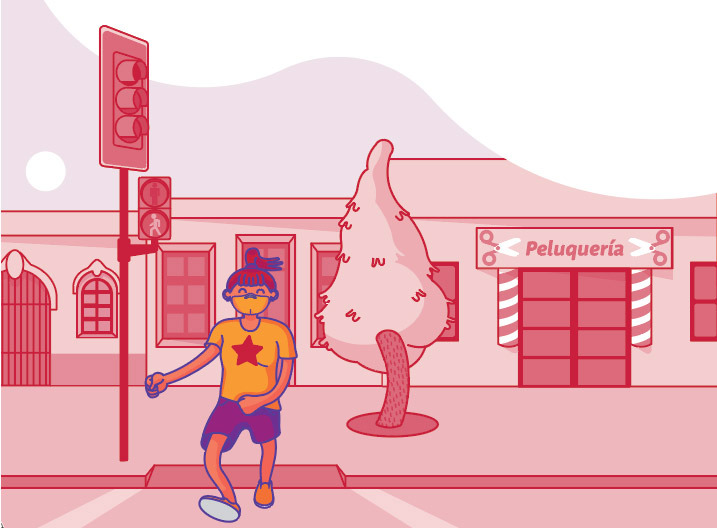
Crossing in corridors
When you cross in the Independence Corridor, do it for enabled spaces and with traffic lights. Avoid accidents. The most important thing is your safety.
Standard Network
The Independence corridor, in addition to allowing buses to reduce their travel times, gives users facilities and benefits that greatly improve their travel experience.
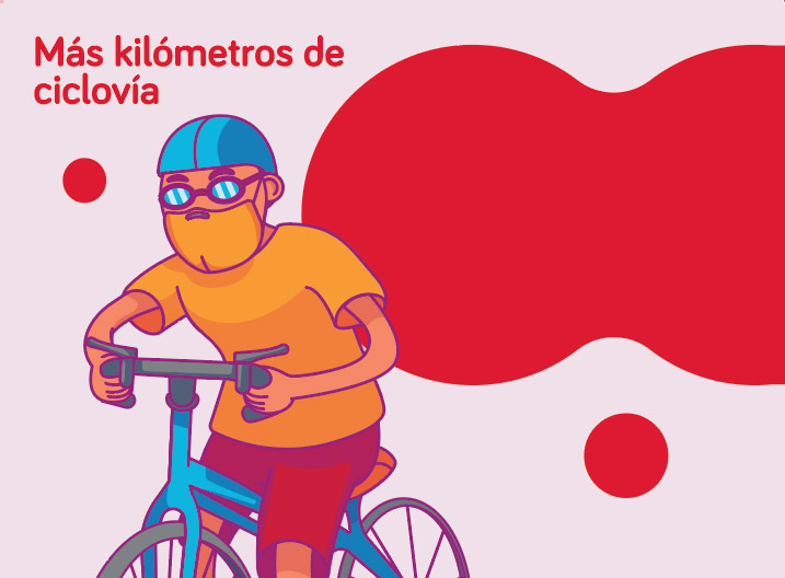
More miles of cycle
2.9 Km of bidirectional cycleway located on the west side of the Av. Independence, between Av. Dorsal and Gamero. The Independence Corridor also improves collectors, landscaping and sidewalks with universal accessibility.